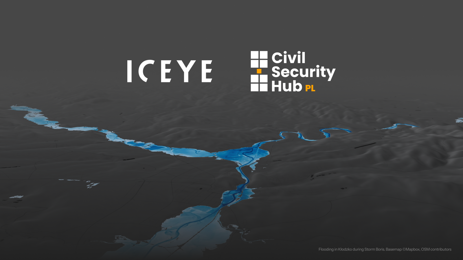
Finnish satellite company ICEYE will provide flood, wildfire, and river ice monitoring services to Civil Security Hub Poland under a new subscription contract, giving Polish emergency services continuous access to space-based disaster intelligence.
ICEYE and the Space Research Centre of the Polish Academy of Sciences (CBK PAN) have signed a contract under which ICEYE will deliver disaster monitoring services to Civil Security Hub Poland, Poland’s node in the European Space Agency’s Space Resilience Nodes initiative. The agreement provides standing, subscription-based access to ICEYE’s services rather than requiring separate activation for each disaster event.
The contract falls under ESA’s European Resilience from Space for Earth Observation initiative, which aims to give European authorities reliable, continuous access to independent satellite data during natural disasters and other crises. Civil Security Hub Poland, led by CBK PAN’s Crisis Information Centre, combines satellite data, drone imagery, and expert knowledge into operational tools for public services.
Under the agreement, ICEYE will supply its full Flood Solutions Suite, which includes early warning forecasts up to four days ahead of large-scale flooding, rapid impact mapping updated as frequently as every three hours during an event, and detailed post-peak assessments covering flood extent, water depth, and building-level impacts within 24 hours. A wildfire pilot service will combine thermal detection with radar and optical satellite data to track active fires and assess damage through smoke and darkness. ICEYE will also provide a river ice monitoring service during winter and spring to help authorities identify conditions that can lead to ice-jam flooding.
The partnership builds on operational experience from Storm Boris in September 2024, when ICEYE delivered flood data every six hours to CBK PAN’s Crisis Information Centre, which then distributed it to the State Fire Service, regional crisis management teams, and hydrological services. The Crisis Information Centre noted that ICEYE’s Flood Rapid Impact service was the primary source of flood information during the first four days of that event. ICEYE has captured and analysed more than 600 flood events globally and has launched more than 80 synthetic aperture radar satellites, which can image the ground through clouds, rain, smoke, and darkness.
Under the contract, Polish Space Resilience Node teams will also be able to support partner countries upon request. ESA’s broader Space Resilience Nodes initiative is designed to enable pooling and sharing of interoperable capabilities among national nodes, including during cross-border disaster response, and Poland’s hub is being used as a model for nodes under development in other European countries.
Source: iceye.com